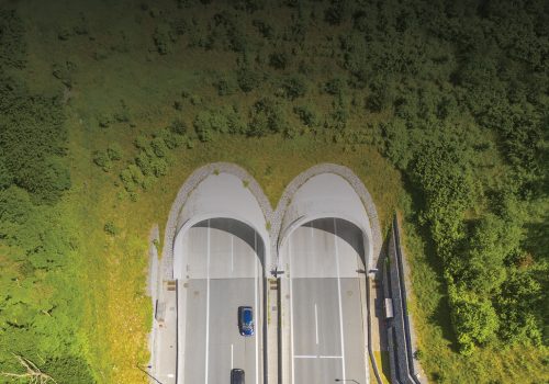
Extending GPS Coverage underground
GPS is widely used outside for navigation, assets management & automation as well as timing synchronization of critical operations. Therefore, GPS is the backbone of many applications and using another technology would only complexifies the connection layers.
GPS repeaters were a promising answer, but they have an obvious limitation: they can only repeat locations from outside, not those underground or indoor.
Moreover, underground areas like subway stations often imply several layers, making the altitude positioning particularly important either.
Solutions have been drafted from other common technologies, like wi-fi or Bluetooth, but they require the use of a specific app, need infrastructures to be installed to work, and sometimes imply the purchase of a whole set of new receivers.
GNSS simulation expertise from aerospace industries
As a GNSS expert, Syntony developed and deployed the SubWAVE™ technology to underground facilities like metro stations & tunnels, mines, and even road tunnels. This real-time GPS simulation solution provides GPS coverage underground (giving latitude, longitude and altitude information), and a seamless transition for the receivers coming from, or going outside. With a GPS-based solution, SubWAVE™ allows all users with GPS-enabled devices to keep using their apps, management software and equipment to benefit from location services.
Minimizing the investment by relying on telecom infrastructures already deployed in underground facilities for radiocommunication, SubWAVE™ GPS Coverage Extension provides a 3-dimensional positioning service, like the one available outside. Using a standard navigation map like Google Map on a standard smartphone to be guided from your home to the right metro platform underground (commute included!) is now possible in every facility equipped with the system.
Transportation operators can optimize their costs by using GPS both outside and inside to locate their assets, ensure an efficient maintenance of their infrastructure, and offer a better service to the users, thanks to SubWAVE™.
Contact us for more information about the SubWAVE™ GPS Coverage Extension solution
Watch a common smartphone using GPS in a road tunnel
